
Drone Photography for Large Acreage Properties in Denton, Texas
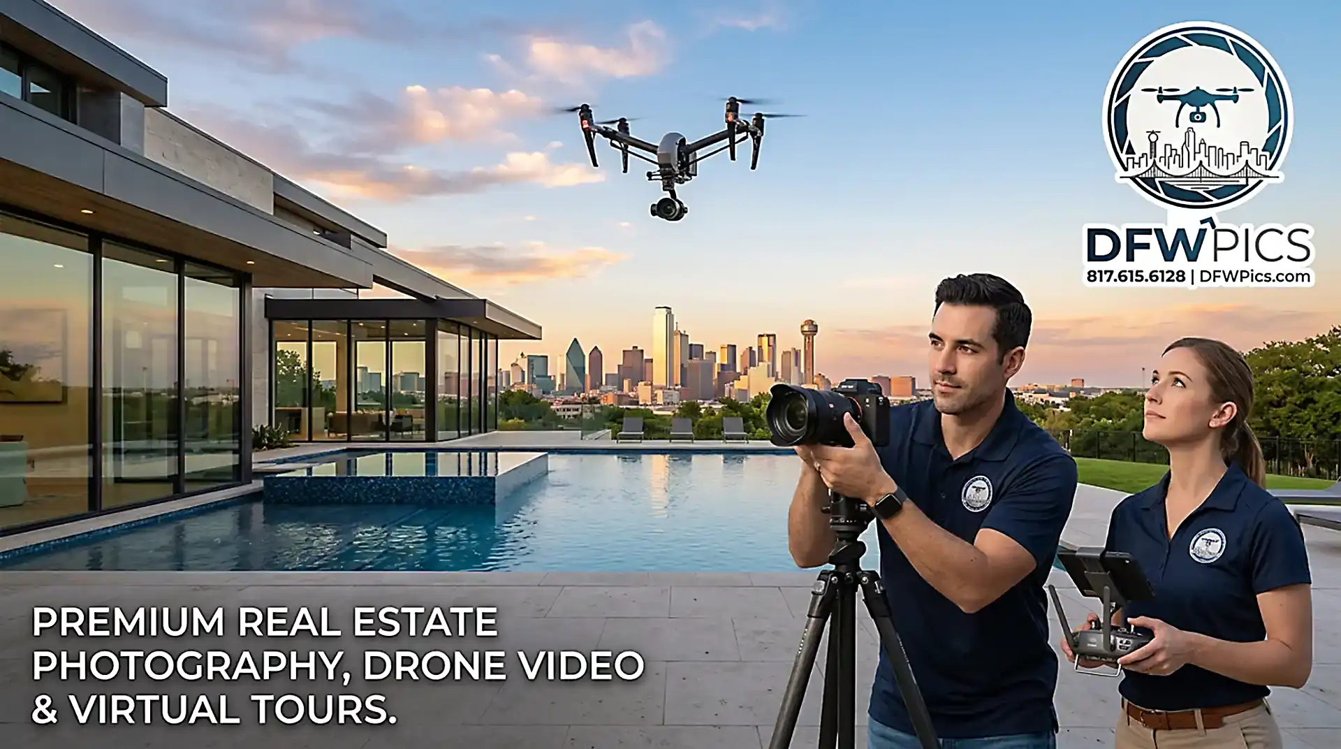
Ground-level photography cannot capture the full scope, topography, and potential of sprawling land listings. In Denton County, where the average land listing spans 40.3 acres with a median price per acre of $108,486, buyers expect a comprehensive visual breakdown before ever setting foot on the dirt. Professional drone photography delivers the exact perspective real estate agents, brokers, and land investors need to market multi-million-dollar parcels effectively.

FAA-Certified Real Estate Drone Photography in Fort Worth, TX: Legal Protection and High-Impact Visuals

DFW Pics, Masterful Drone Aerials, Ultra-HD Interiors, Ultra-HD Exteriors, Premium Floor Plans, Walk Through Video

In Fort Worth’s evolving real estate landscape—where median home prices hold steady around $338,000 to $348,000 and average market times range from 41 to 46 days—listing agents need every legal and visual advantage possible. While aerial perspectives are proven to generate immediate buyer interest, capturing them without proper federal licenses introduces severe liabilities. For real estate brokers, property managers, and investors operating in Tarrant County, hiring an FAA-certified drone photographer is both a high-converting marketing strategy and a vital legal safeguard.